Taxes, FSA Data & Property Info
Estimated Net Taxes
Parcel 1: $3,106/year -- Parcel 2: $2,874/year -- Parcel 3: $3,308/year
FSA Data
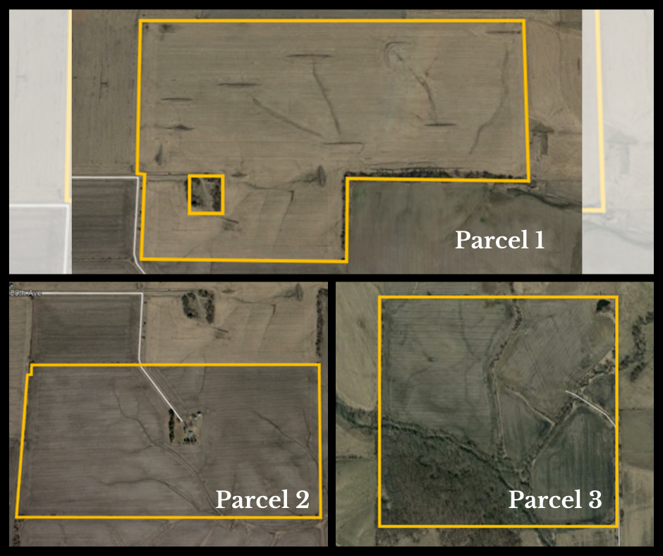
Parcel 1
Farm Number: 549
Tract Number: 81
Cropland Acres: 116.50
Corn Base Acres: 75.30
Corn PLC Yield: 161 bu./acre
Soybean Base Acres: 41.20
Soybean PLC Yield: 49 bu./acre
2021 Farm Program Election: Corn & Soybeans are enrolled under Price Loss Coverage Program.
**Information is estimated pending reconstitution of farm by Poweshiek County FSA Office.
Parcel 2
Farm Number: 3378
Tract Number: 8970
Cropland Acres: 79.49
Corn Base Acres: 75.20
Corn PLC Yield: 168 bu./acre
Soybean Base Acres: 1.50
Soybean PLC Yield: 55 bu./acre
2021 Farm Program Election: Corn & Soybeans are enrolled under ARC-County Program.
Parcel 3
Farm Number: 549
Tract Number: 80
Cropland Acres: 107.69
Corn Base Acres: 72.89
Corn PLC Yield: 161 bu./acre
Soybean Base Acres: 34.80
Soybean PLC Yield: 49 bu./acre
2021 Farm Program Election: Corn & Soybeans are enrolled under Price Loss Coverage Program.
*Information is estimated pending reconstitution of farm by Poweshiek County FSA Office.
Legal Description
Parcel 1
Poweshiek County – 120 acres m/l in the East Fifteen Acres of the South One-Half of the Southeast Quarter (S ½ SE ¼) of Section Thirty-one (31) and the South One-half of the Southwest Quarter (S ½ SW ¼) of Section Thirty-Two (32), all being in Township Seventy-79, Range 14 West of the 5th P.M.; & the North Twenty Acres of Government Lot One (1) Except Lot One (1) in said Government Lot One (1); and the East Five Acres of the North Twenty Acres of Government Lot Two (2), all in Section Six (6), Township 78 North, Range 14 West of the 5th P.M.; all in Poweshiek County, Iowa.
Parcel 2
Poweshiek County – 83 acres m/l in Government Lots One (1) and Two (2), in Section Six (6), Township 78 North, Range 14 West of the Fifth P.M.; and a strip of land Two Rods wide off the East side of Lot Six (6), in Section Six (6), Township 78 North, Range 14 West of the Fifth P.M., containing approximately one acre; also a strip of land off the east side of Lot Three (3) in Section Six (6), Township 78 North, Range 14 West of the Fifth P.M., bounded as follows: commencing at the Southeast corner of said Lot Three (3), running thence West 22½ feet, thence North 80 rods to a point 10½ feet West of the East line of said Lot Three (3), thence East 10½ feet to the East line of said Lot three (3), thence South along the East line of said lot to place of beginning, estimated at 83 acres, EXCEPT that portion thereof sold to Gerald L. Haynes and Vernon Haynes by deed dated June 13, 1977, recorded in Book 357, page 234, Office of the Poweshiek County Recorder, all in Poweshiek County, Iowa.
Parcel 3
Poweshiek County – 160 acres m/l in the South Half of the Northeast Quarter (S ½ NE ¼) and the North Half of the Southeast Quarter (N ½ SE ¼) of Section Thirty-six (36), Township 78 North, Range 15 West of the Fifth P.M., Poweshiek County, Iowa.